Artificial Intelligence in Environmental Consulting: Applications, Limitations, and Professional Judgment
Nov 06, 2026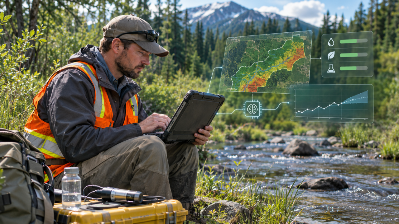
Artificial intelligence is becoming part of environmental consulting, but its value depends on the problem being addressed and the quality of the underlying evidence. Machine-learning models can identify patterns in monitoring data or satellite imagery, while generative AI systems can help organize records and draft routine text. Neither capability, on its own, establishes the presence of contamination, demonstrates regulatory compliance, or replaces a professional assessment.
For consultants working in site investigation, remediation, environmental monitoring, natural-resource assessment, and permitting, the practical question is not whether AI will replace traditional methods. It is where these tools can improve the collection, interpretation, and communication of information while preserving the field verification, quality assurance, and professional accountability that environmental decisions require.
Environmental monitoring and predictive analysis
Continuous sensors and automated models can help environmental teams recognize patterns that are difficult to see in occasional measurements. In a 2025 U.S. Geological Survey study, researchers combined high-frequency water-quality observations with streamflow forecasts and a machine-learning model to predict turbidity in a New York drinking-water supply basin. The study demonstrated useful one- to three-day forecasts in that particular setting; it did not establish that machine learning can forecast every water-quality parameter or replace monitoring at other sites. [1]
Analysis routines can be configured to flag unusual sensor readings or trends for subsequent review. An automated alert is a prompt for evaluation, not proof that a release has occurred. Sensor readings can be affected by performance limitations, environmental conditions, and differences in monitoring methods. EPA's Air Sensor Guidebook addresses monitoring design, sensor performance, data quality, and interpretation. [2]
This distinction matters commercially as well as technically. A monitoring dashboard may improve the timeliness of information shared with a client, but its value must be assessed against the cost of equipment, maintenance, calibration, data management, and staff review. Continuous measurements are not automatically equivalent to compliance-grade monitoring or accredited laboratory analysis.
Site assessments, remote sensing, and remediation planning
Environmental site assessments involve assembling information from many imperfect sources: historical land uses, government records, aerial imagery, maps, interviews, observations, and sometimes laboratory results. AI-assisted document searches are a potential way to flag records for professional review, but the usefulness of that workflow must be verified independently. A consultant might use a database search to identify facilities with relevant permits or enforcement histories, then check the underlying agency records before drawing conclusions. Automated retrieval or summarization should not be treated as a verified assessment without testing it against the original source material.
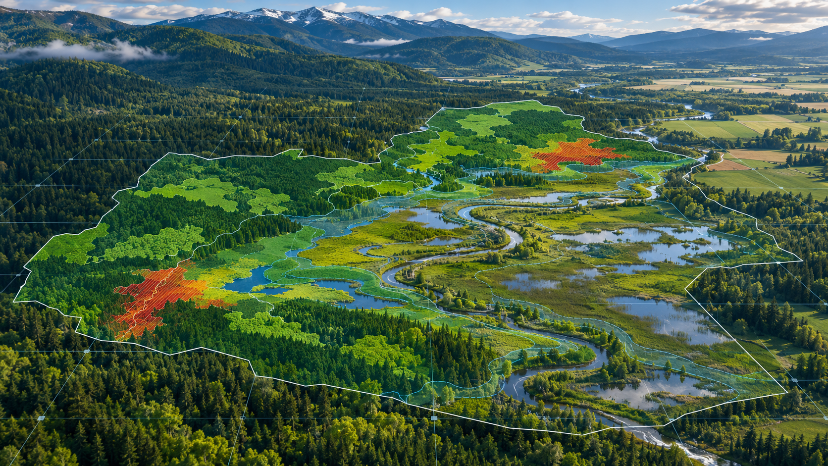
Machine learning also has established uses in interpreting aerial and satellite imagery. The U.S. Geological Survey's Annual National Land Cover Database uses an ensemble of deep-learning models and time-series analysis to characterize changes in land cover. [3] Image-classification methods can support regional screening of development, vegetation, or land-cover change, but their results depend on the quality of input data and validation. They do not, by themselves, establish environmental conditions at an individual property.
The limitations matter differently for Phase I assessments and subsequent site investigations. Under EPA's All Appropriate Inquiries rule, qualifying Phase I investigations require specific inquiries, the environmental professional's opinions, and a signed report; an AI-generated summary cannot fulfill those professional responsibilities on its own. [4] For sampling and remediation investigations, predictions about potential contaminant migration should be evaluated against a conceptual site model that is updated as site-specific evidence becomes available.
Climate risk, regulatory research, and reporting
Environmental planning may require historical weather, terrain, land use, hydrology, and projected climate conditions. Machine-learning techniques can assist with the analysis of large environmental datasets, but outputs developed at a regional scale cannot by themselves establish reliable property-specific climate risk. For contaminated sites, a screening exercise should consider local hazards and the potential vulnerability of site infrastructure or remedies before deciding whether more detailed assessment is needed. The scale and uncertainty of any projection must match the decision being made, rather than being reduced to a single unqualified prediction.
Generative AI can help organize permits or draft regulatory summaries, but it is not an authoritative source of law. NIST identifies 'confabulation'—confidently stated erroneous or false content—as a recognized generative-AI risk. [5] In environmental compliance work, this makes independent verification essential: a consultant should check applicable statutes, regulations, permits, agency records, and official guidance, including the effective version, jurisdiction, and whether a condition actually applies to the facility or activity.
Depending on the documents and workflow, AI assistance may make it easier to assemble tables, prepare preliminary drafts, and check consistency across technical reports. That does not remove the need to review calculations, trace statements to their sources, document assumptions and limitations, or ensure that the report accurately reflects site conditions. Reports often carry contractual, professional, and regulatory consequences that cannot be delegated to a text-generation system.
Building a responsible workflow around professional judgment
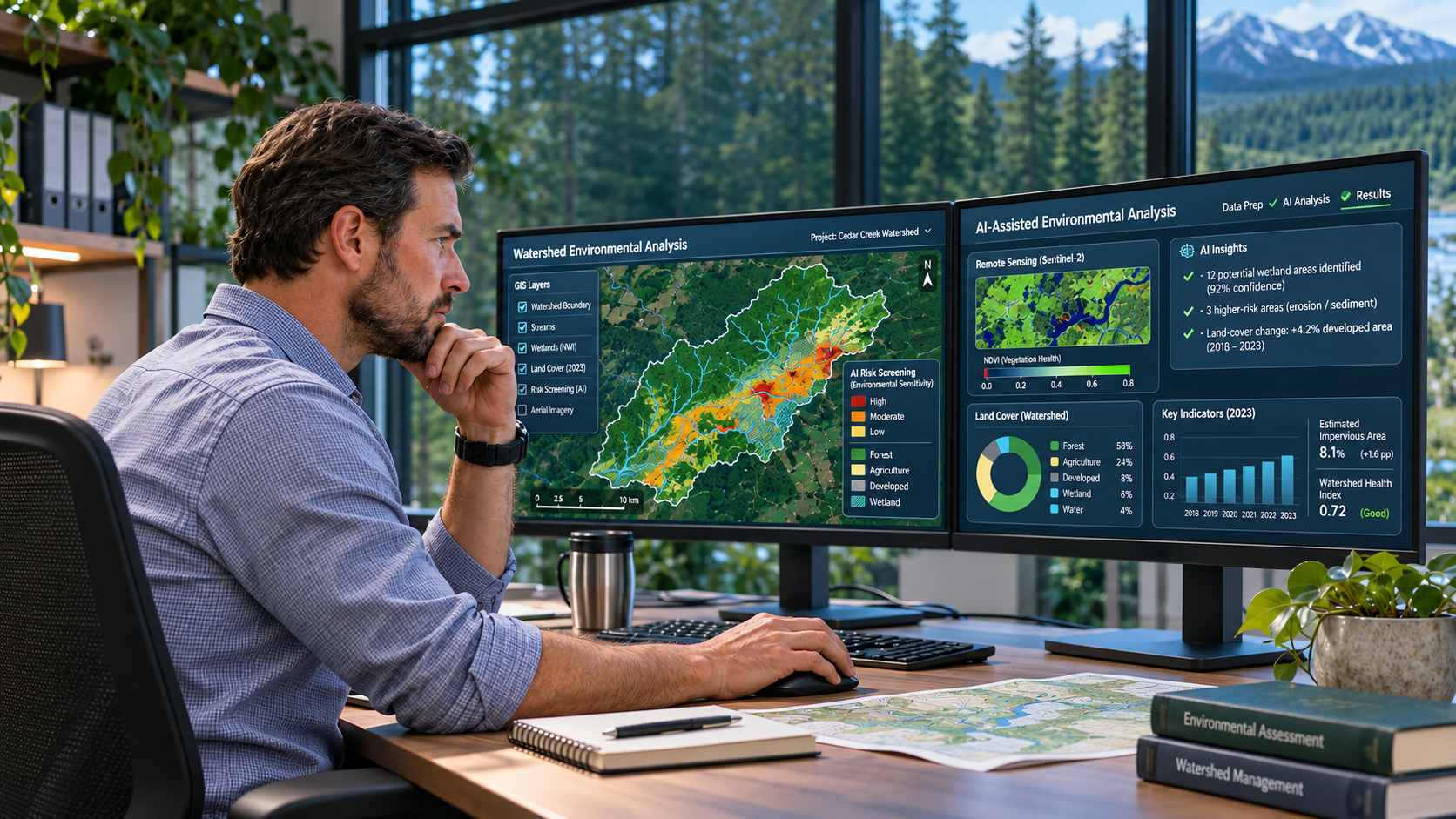
For an environmental firm evaluating AI tools, a practical starting point is a narrowly defined task with observable performance. Organizing a known set of inspection records, screening imagery for possible land-cover change, or preparing an outline from approved source material is easier to test than asking an AI system for a final compliance opinion. A pilot should define the expected output, the authoritative source material, the required human checks, and the criteria for judging whether the tool improves the work.
Data governance deserves equal attention. Client documents, investigation results, property information, and internal methods may be confidential or contractually restricted. Before submitting that material to an external platform, a firm should examine the applicable agreement, access permissions, data-retention terms, and security controls. Its quality-assurance process should record which inputs were used, what the system produced, how the output was checked, and who approved the final interpretation. These are practical safeguards rather than evidence that an AI tool has been certified for environmental consulting.
Professional competence remains the deciding factor. A geologist needs to recognize an implausible subsurface interpretation; an environmental scientist needs to understand sampling limitations; and a compliance specialist needs to know which regulatory text controls. AI literacy is valuable because it helps those professionals test and challenge system outputs, not because it eliminates the need for their expertise.
For the Environmental Professionals Network, the broader opportunity is in how independent specialists can use validated digital tools to coordinate information across disciplines without blurring responsibility for technical decisions. Used carefully, AI may support more focused screening, clearer documentation, and professional review. Its contribution should be measured by the quality and defensibility of the resulting work, not by the volume of content it can generate.
References
[2] U.S. EPA. How to Use Air Sensors: Air Sensor Guidebook.
[3] U.S. Geological Survey. About Annual NLCD.
[4] U.S. EPA. Brownfields All Appropriate Inquiries.
Originally published by Environmental Professionals Network on March 26, 2026. Technical content reviewed and substantially revised November 2026.